Log in
All resources
Create a design
9,296 Free Artworks of Map Collection
bibliothèque nationale de france
maps from university of amsterdam special collections
atlas der neederlanden
copperplate print
special collections of the university of amsterdam
eran laor cartographic collection
koninklijke bibliotheek
latin-language maps
map - museu antônio parreiras
antônio parreiras
eran laor cartographic collection
german renaissance,humanism
eran laor cartographic collection
cornelis de bruyn
eran laor cartographic collection
edward weller
georges barthélemy médéric flamand
chotts
roermond in the 17th century
old maps of roermond
georg friedrich schmidt
samuel von schmettau
university of amsterdam
map of amsterdam, 1544
18th-century maps of antwerp
anna beeck
atlas van der hagen (volume 2)
atlas van der hagen
atlas van der hagen (volume 4)
atlas van der hagen
atlas van der hagen (volume 3)
atlas van der hagen
map of bruges by marcus gheeraerts (i)
drawings in the groeningemuseum
map of bruges by marcus gheeraerts (i)
drawings in the groeningemuseum
charles william meredith van de velde
eran laor cartographic collection
eran laor cartographic collection
isaak tirion
maps in the british museum
john cooke
old maps of former departments of france
maps from gallica
maps by willem and johannes blaeu
old maps of loiret
maps by jacques chiquet
1719 maps of africa
old county maps of the north riding of yorkshire
maps made in the 17th century
old maps of former departments of france
maps from gallica
map of the circle of the rhineland by sanson
1700s maps of rhineland-palatinate
maps by jacques chiquet
1719 maps of africa
17th-century maps of cheshire
old county maps of cheshire
1809 maps of saxony-anhalt
1809 maps of saxony
eran laor cartographic collection
afbeeldinge der stad jerusalem
17th-century maps of dordogne
sarlat-la-canéda
theatre oft toonneel des aerdt-bodems (1571 kb)
maps of wales by humphrey llwyd
drawings in the museu antônio parreiras
canvas
maps made in the 17th century
rethel (territorio)
italia - di matteo greuter... - btv1b525056959
old maps of apulia
1880s maps of tunisia
maps from gallica
antoine-françois tardieu
jean-baptiste poirson
18th-century maps of veneto
1700s maps of slovenia
maps from gallica
old maps of psarà
maps of the iberian peninsula by guillaume delisle
1700s maps of the iberian peninsula
maps in the british museum
maps of the irish sea
maps of raja ampat regency
dutch-language maps
maps in the staats- und universitätsbibliothek hamburg
1594 maps of hamburg
maps from the mechanical curator collection
australia (1873) by booth
18th-century maps of barbados
1780 maps of the caribbean
maps of spain by tomas lopez
1770 maps of spain
maps from university of amsterdam special collections
atlas der neederlanden
maps from university of amsterdam special collections
atlas der neederlanden
maps from university of amsterdam special collections
atlas der neederlanden
maps from university of amsterdam special collections
atlas der neederlanden
maps from university of amsterdam special collections
atlas der neederlanden
maps from university of amsterdam special collections
atlas der neederlanden
maps from university of amsterdam special collections
atlas der neederlanden
maps from university of amsterdam special collections
atlas der neederlanden
maps from university of amsterdam special collections
atlas der neederlanden
maps from university of amsterdam special collections
atlas der neederlanden
maps from university of amsterdam special collections
atlas der neederlanden
maps from university of amsterdam special collections
atlas der neederlanden
maps of the dutch east india company - india
1665
maps of the west-indische compagnie
1671
maps of cagliari by braun & hogenberg
maps of valletta by braun & hogenberg
old maps of trinidad and tobago
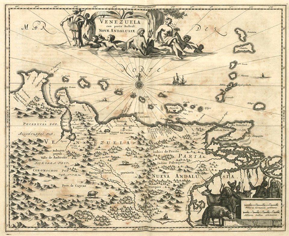
17th-century maps of venezuela
maps of antwerp city walls
old maps of antwerp
terrae sanctae tabula by guillaume delisle (1763)
eran laor cartographic collection
maps from university of amsterdam special collections
atlas der neederlanden
maps from university of amsterdam special collections
atlas der neederlanden
16th-century maps of amsterdam
maps by jacob van deventer
eran laor cartographic collection
joan blaeu
eran laor cartographic collection
johann ulrich krauß
eran laor cartographic collection
étienne dupérac
eran laor cartographic collection
joan blaeu
eran laor cartographic collection
baroque
nicolas-andré monsiau
neoclassicism
maps by richard william seale
1750 maps of africa
a map of the valdichiana (rcin 912278)
high renaissance,renaissance
maps in the staats- und universitätsbibliothek hamburg
1588 maps of hamburg
drawings in the museu antônio parreiras
paper
drawings in the museu antônio parreiras
wood
1572 maps of africa
1570s maps of egypt
brazilian paintings in the museu antônio parreiras
wood
eran laor cartographic collection
caspar merian
british library - off the map alice collection - wonderland
british library - off the map alice collection
eran laor cartographic collection
philippe de la rué
eran laor cartographic collection
nicolas langlois
great fire of 1866 in quebec city
19th-century maps of quebec city
atlas des anciens plans de paris by imprimerie nationale, 1880 from the musée carnavalet
maps of paris from paris musées
drawings in the museu antônio parreiras
india ink and watercolor
maps from university of amsterdam special collections
atlas der neederlanden
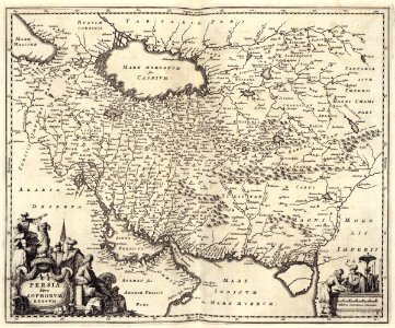
maps of the dutch east india company - iran
old maps of the dutch east india company
maps of the west-indische compagnie
1770 maps
maps of the west-indische compagnie
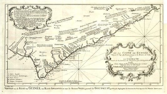
old maps of the dutch gold coast
maps of the dutch east india company - south africa
1682
maps of the west-indische compagnie
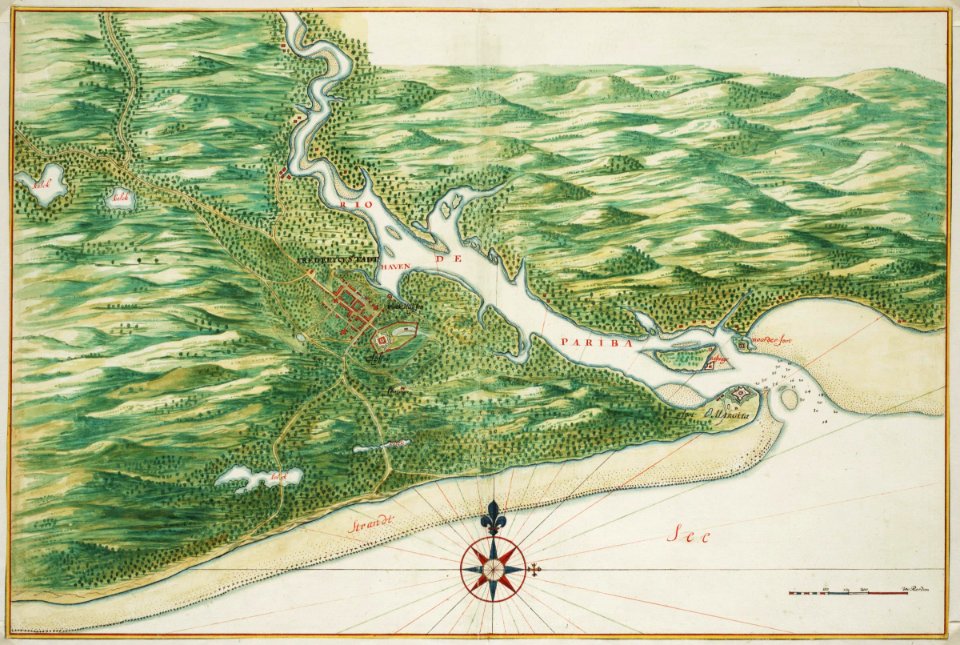
old maps of dutch brazil
maps of the west-indische compagnie
old maps of dutch brazil
hendrik van langren map of south asia
1600 maps of asia
maps by thomas conder
1778 maps of africa
paintings by antônio parreiras in the museu antônio parreiras
1910s paintings by antônio parreiras
paintings by antônio parreiras in the museu antônio parreiras
paul et virginie
drawings in the museu antônio parreiras
crayon
den danske hærs historie til nutiden og den norske hærs historie indtil 1814
maps from the mechanical curator collection
maps of the west-indische compagnie
1747 maps of africa
old maps of the dutch east india company
1740s maps of arabia
maps from university of amsterdam special collections
atlas der neederlanden
maps from university of amsterdam special collections
atlas der neederlanden
1701 - 1800 of 9,296
Next page
/ 93